The PTIK Study Program FKIP UNS held a partnership with the Matesih Village Government which aims to encourage the digitization process of mapping the potential and problems that exist in Matesih Village. As we all know, Matesih Village is a village that has abundant potential. According to the village secretary, Bp. Andhi Vitalata representative of the local village government, Matesih Village residents are quite participatory and enthusiastic about community service activities that have been taking place so far. There is a lot of potential that might be revealed, especially related to the digitization of archives and village services. This is more often known as the concept or term Digital Village. The archives in the form of potentials and problems can actually be mapped per hamlet spatially in order to find out priorities for future village development.
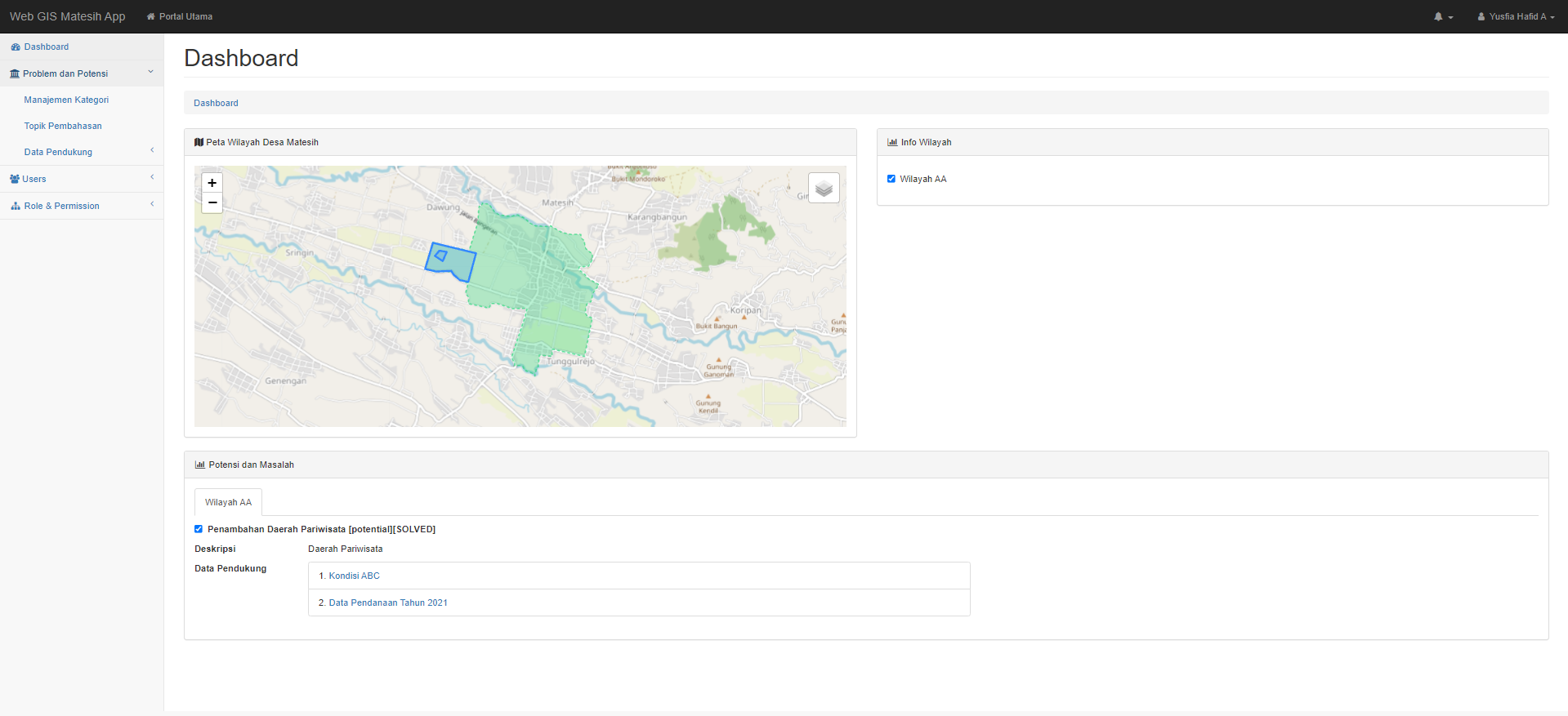
Web-Based GIS Application is here to answer these problems. The application is intended to digitize the archive of potential and problems spatially as well as to accommodate the research community and village administrators who are connected through the application discussion forum room to develop potential or solve existing problems.
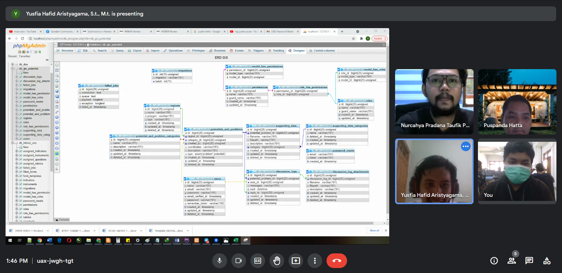
The application development process was executed directly by the Research Group Information System for Sustainable Development (ISSaD) team consisting of Sebelas Maret University lecturers Yusfia Hafid Aristyagama, Cucuk Wawan Budiyanto, Nurcahya Pradana Taufik Prakisya, Puspanda Hatta, Febri Liantoni, Rosihan Ari Yuana, Aktavia Herawati, Ganjar Herdiansyah, Catur Sugiarto and assisted by PTIK student Wiku Sidik Dananjaya. The development team hopes that this application can provide benefits for better village management.
In this activity, the service team submitted service products in the form of a Web-based GIS application to map the potential and problems in Matesih Village. The Matesih Village Government enthusiastically welcomed the innovation.
The application is developed through several stages, namely the stages: 1) Preparation, 2) Development, 3) Socialization.
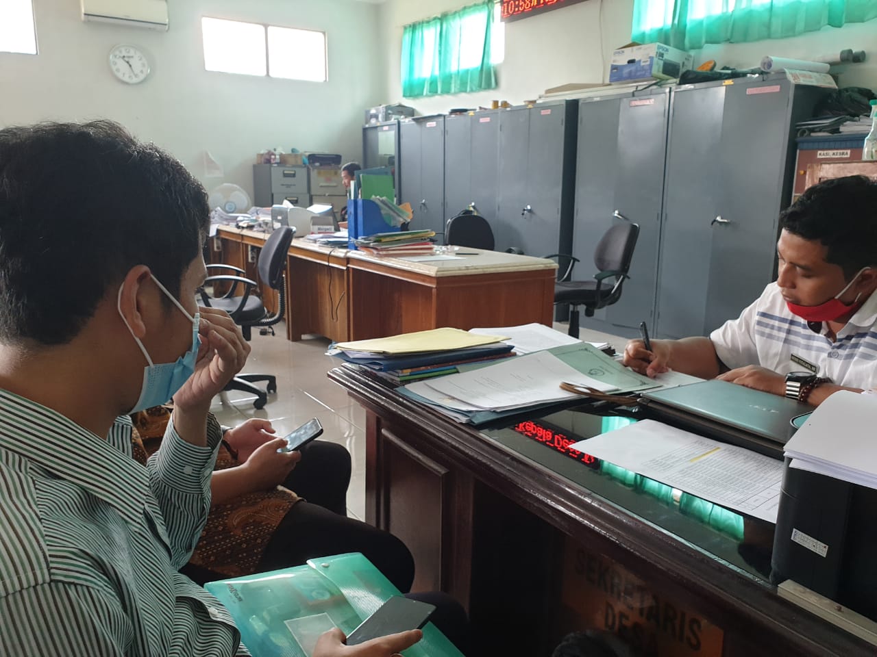
The preparatory stages that have been carried out involve the village government and the service team in the context of signing a cooperation agreement between the two parties.
The development stage involves several representatives of the local village government and service providers. However, at this stage, the internal service team is more technically involved in designing and implementing the application.
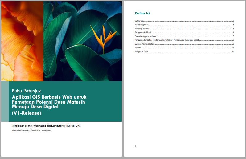
At the socialization stage, the application is ready to use. Applications submitted are socialized for use accompanied by an application usage manual that represents the entire content of the application on November 1, 2021. (FWN/2021)